Mapping and GIS
Mapping and GIS
A geographic information system (GIS) is a system designed to capture, store, manipulate, analyze, manage, and present all types of geographical data. The City's GIS Analyst is responsible for creating maps and performing geographic analysis to aid City departments as well as supplying maps and geographic data to some outside parties on request. The following are just some of the benefits of GIS:
- 80% of all data have a geographic component. GIS allows this data to be easily queried and analyzed resulting in increased efficiency and better decisions.
- About 65% of people are visual learners. GIS allows data to be utilized to produce maps that are more easily understood than raw numbers, lists, or verbal descriptions. This makes it easier to understand a situation or solve a problem.
- With GIS, it is easy to identify spatial patterns in data that would not be initially obvious from viewing a list or table.
City Maps
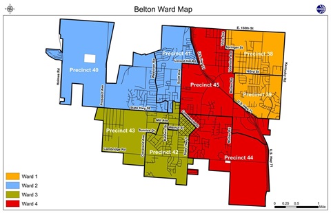
The following maps are available for download:
- Belton City Map(PDF, 19MB)
- City Parks(PDF, 6MB)
- City Schools(PDF, 4MB)
- City Street Map(PDF, 621KB)
- City Subdivisions(PDF, 774KB)
- City Ward Map(PDF, 22MB)
- Emergency Snow Routes with Priority Routes(PDF, 2MB)
- Main Street Belton(PDF, 3MB)
- Precinct Map(PDF, 253KB)
- Sewer Line Service Areas(PDF, 4MB)
- Stream Map(PDF, 3MB)